
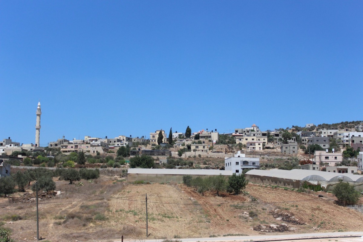
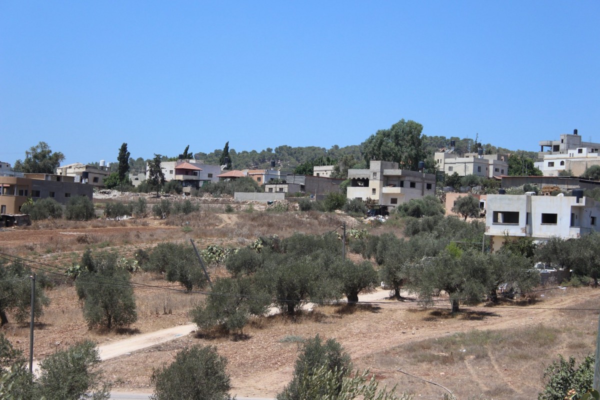
To the southeast of Jenin lies the village of Beit Qad, with a population of 650 in the northern part and 1800 in the southern part of the green plains of Marj Ibn Amer. It is distinguished with its dense vegetation cover and agricultural activity. It is also special because of its location on the trade line linking Jenin and the neighboring villages, which gave it importance as it has a health center, a police station, a civil defense center, an agricultural research station and is the headquarters of the Marj Ibn Amer municipality, which includes thirteen surrounding villages. It also has a women’s center and a secondary school, which became a center where people come in search of basic services.
The village is called Beit Qad due to its location between Jenin and the surrounding villages though wherever an army passed through the area, the army commander would reside there, therefore it was called the leader’s house- Beit which means house and Qad is a form from Qaed which means leader.
Location
Add Review
الى الجنوب الشرقي من مدينة جنين تتربع قرية بيت قاد البالغ عدد سكانها 650 نسمة في الجزء الشمالي و 1800 نسمة في الجزء الجنوبي في سهول مرج بن عامر المكسوة باللون الأخضر بسبب كثافة الغطاء النباتي فيها و النشاط الزراعي. كما تتميز بموقعها على خط التجارة الواصل بين جنين والقرى المجاورة مما أعطاها طابع حيوي و خدماتي حيث يوجد فيها مركز صحي ومركز شرطة ومركز دفاع مدني و محطة أبحاث زراعية و مقر بلدية مرج بن عامر التي تضم تحت مظلتها ثلاثة عشر قرية محيطة. أيضا فيها مركز نسوي و مدرسة ثانوية مما جعلها مركزا يأتي إليه الناس بحثا عن الخدمات الأساسية من القرى المجاورة. يعود سبب تسمية القرية الى موقعها المتوسط بين جنين و القرى المحيطة إذ كان كلما مر جيش من المنطقة كان قائد الجيش يقيم فيها وكانت تسمى بيت القائد.
Location
Add Review
Leave a Reply
You must be logged in to post a comment.
Leave a Reply
You must be logged in to post a comment.